
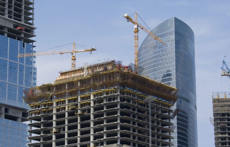


Construction Progress Monitoring
Keep track of your construction project’s progress with our regular aerial monitoring services. We provide detailed visual documentation at every stage, allowing you to oversee site developments from start to finish. Our drones capture high-quality images and videos, making it easier to assess progress, ensure compliance, and share updates with stakeholders.

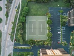
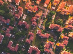
Land and Property Surveys
Gain a comprehensive view of land and property with our drone surveys. Ideal for property developers, architects, and real estate professionals, our aerial surveys provide accurate and detailed imagery that aids in planning, development, and decision-making. We offer 2D mapping and 3D modeling services to give you a complete perspective of the terrain and structures.
DroneVue 2024
We need your consent to load the translations
We use a third-party service to translate the website content that may collect data about your activity. Please review the details in the privacy policy and accept the service to view the translations.